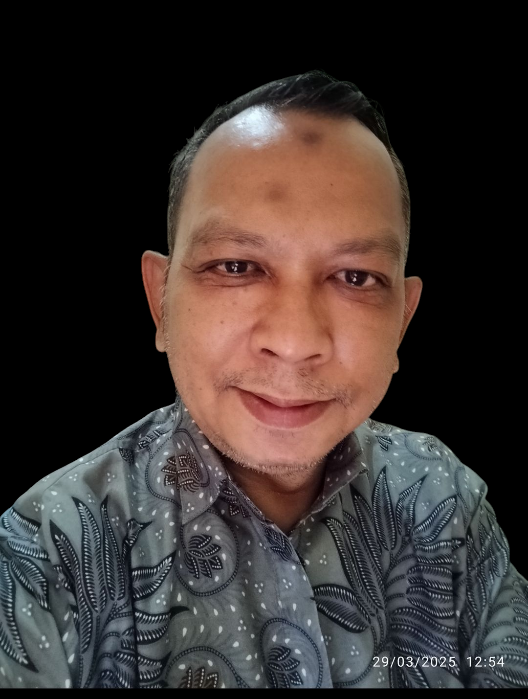
Hello, My Name is Arunkumar

no-image

Arunkumar Shanmuganathan

Land surveyor

I am a dedicated and highly skilled Land Surveyor with over 8 years of experience in the civil engineering and construction industry. My expertise spans Total Station, GPS, and drone surveying, with a proven track record in delivering precise and efficient surveys for complex construction projects, infrastructure development, precast buildings, and oil and gas industries.

Currently, I work as a Land Surveyor for Xiao Li Engineering & Co. Sdn. Bhd. on the Intel Pelican Project in Penang, Malaysia, where I manage a wide range of surveying tasks including alignment and levelling of precast structures, steel frames, and infrastructure. My role also involves preparing survey reports, conducting fieldwork, and providing technical supervision to survey teams.

I have extensive experience working with industry-standard instruments such as Leica, Trimble, Sokkia, South, GeoMax, and DJI Phantom 4 drones for data collection and analysis. I am passionate about using technology to enhance the accuracy and efficiency of survey processes, which ensures high-quality outcomes for my clients.

Throughout my career, I have demonstrated strong leadership, excellent problem-solving skills, and a deep understanding of construction and survey requirements. I am a proactive team player who thrives in dynamic work environments and am always eager to learn new techniques and technologies to stay at the forefront of the surveying profession.